Forecasting tool
Cloud Inversion Forecast
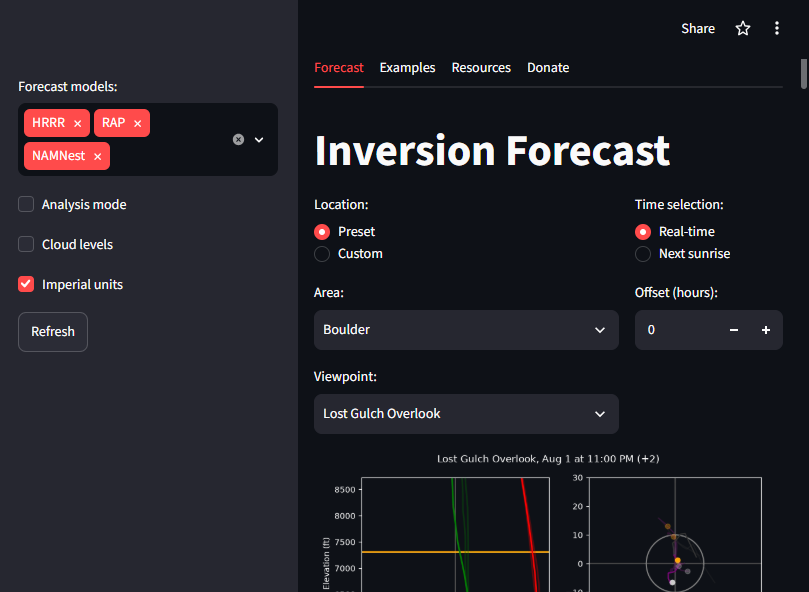
A model-driven fog and cloud inversion forecast tool used by photographers in Colorado.
Built a forecast app that combines high-resolution model output (HRRR, RAP, NAMNest) to predict fog, low clouds, and cloud inversions at selected viewpoints. It spread by word of mouth among Colorado photographers and is also used for my own weather photography.
A cloud inversion happens when temperature increases with height near the surface instead of decreasing. Cold, dense air pools in valleys beneath a warmer layer, and the warm layer acts as a lid. Moisture trapped below condenses into fog or low cloud, leaving mountain peaks above a "sea of clouds". Forecasting one means finding the inversion layer and checking that its height, humidity, and wind line up with the terrain.